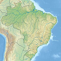
Ubatuba River
Jump to navigation
Jump to search
| Ubatuba River | |
|---|---|
| Location | |
| Country | Brazil |
| Physical characteristics | |
| Source | |
| • location | Ceará state |
| Mouth | |
• coordinates | 2°56′28″S 41°19′13″W / 2.941114°S 41.320320°W |
The Ubatuba River is a river of Ceará state in eastern Brazil.
The river delta is protected by the 313,800 hectares (775,000 acres) Delta do Parnaíba Environmental Protection Area, created in 1996.[1]
See also
[edit]References
[edit]- ^ APA Delta do Parnaíba (Federal) (in Portuguese), ISA: Instituto Socioambiental, retrieved 2017-02-09
