Towaninny South, Victoria
Jump to navigation
Jump to search
| Towaninny South Victoria | |||||||||||||||
|---|---|---|---|---|---|---|---|---|---|---|---|---|---|---|---|
| Coordinates | 35°56′00″S 143°21′06″E / 35.93333°S 143.35167°E | ||||||||||||||
| Population | 0 (SAL 2016)[1][2] | ||||||||||||||
| Postcode(s) | 3527 | ||||||||||||||
| Location |
| ||||||||||||||
| LGA(s) | Shire of Buloke | ||||||||||||||
| State electorate(s) | Mildura | ||||||||||||||
| Federal division(s) | Mallee[3] | ||||||||||||||
| |||||||||||||||
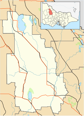
Towaninny South is a locality in the local government area of the Shire of Buloke Victoria, Australia. The pastoral run here was known as Towaninnie, but when the area was surveyed and gazetted as a parish in 1871 the spelling was Towaninny.
See also
[edit]References
[edit]- ^ Australian Bureau of Statistics (27 June 2017). "Towaninny South (suburb and locality)". Australian Census 2016.
- ^ Australian Bureau of Statistics (27 June 2017). "Towaninny South (suburb and locality)". Australian Census 2016 QuickStats. Retrieved 28 June 2022.
- ^ "Division search". Retrieved 5 February 2012.

