Pungapunga River
Jump to navigation
Jump to search
| Pungapunga River | |
|---|---|
 | |
| Native name | Pungapunga (Māori) |
| Location | |
| Country | New Zealand |
| Region | Manawatū-Whanganui |
| District | Ruapehu |
| Physical characteristics | |
| Source | Hauhungaroa |
| • location | Hauhungaroa Range |
| • coordinates | 38°50′2″S 175°33′40″E / 38.83389°S 175.56111°E |
| • elevation | 1,040 m (3,410 ft) |
| Mouth | Whanganui River |
• location | Manunui |
• coordinates | 38°53′30″S 175°20′0″E / 38.89167°S 175.33333°E |
• elevation | 172 m (564 ft) |
| Length | 22 km (14 mi) |
| Basin features | |
| Progression | Pungapunga River → Whanganui River |
| River system | Whanganui River |
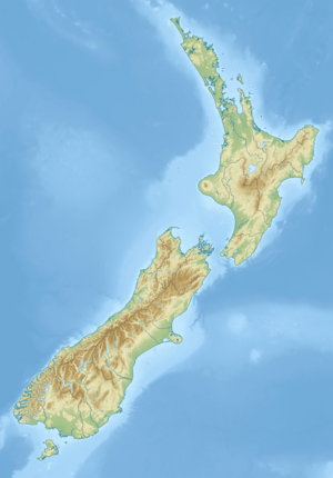
The Pungapunga River is a river of the Manawatū-Whanganui region of New Zealand's North Island. It flows predominantly southwest from the southeastern foothills of the Hahungaroa Range, reaching the Whanganui River 5 kilometres (3 mi) east of Taumarunui.[1]
See also
[edit]References
[edit]- ^ "Place name detail: Pungapunga River". New Zealand Gazetteer. New Zealand Geographic Board. Retrieved 3 June 2010.
