Ear Falls Airport
Jump to navigation
Jump to search
Ear Falls Airport | |||||||||||
|---|---|---|---|---|---|---|---|---|---|---|---|
| Summary | |||||||||||
| Airport type | |||||||||||
| Operator | |||||||||||
| Location | Ear Falls, Ontario | ||||||||||
| Time zone | CST (UTC−06:00) | ||||||||||
| • Summer (DST) | CDT (UTC−05:00) | ||||||||||
| Elevation AMSL | 1,269 ft / 387 m | ||||||||||
| Coordinates | 50°43′04″N 093°23′01″W / 50.71778°N 93.38361°W | ||||||||||
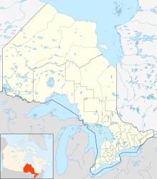
| Map | |||||||||||
| Runways | |||||||||||
| |||||||||||
Ear Falls Airport (ICAO: CYMY) was located 7 nautical miles (13 km; 8.1 mi) northwest of Ear Falls, Ontario, Canada.
See also
[edit]External links
[edit]- Page about this airport on COPA's Places to Fly airport directory
References
[edit]- Canada Flight Supplement. Effective 0901Z 16 July 2020 to 0901Z 10 September 2020.
