Coti River
Jump to navigation
Jump to search
| Coti River | |
|---|---|
| Native name | Rio Coti (Portuguese) |
| Location | |
| Country | Brazil |
| Physical characteristics | |
| Source | |
| • location | Amazonas state |
| Mouth | |
• coordinates | 8°36′13″S 65°32′56″W / 8.603551°S 65.548888°W |
| Basin features | |
| River system | Curuquetê River |
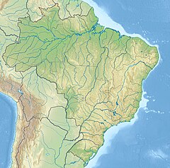
The Coti River (Portuguese: Rio Coti) is a river of Amazonas state in north-western Brazil, a tributary of the Curuquetê River.
The river flows through the Mapinguari National Park, a 1,776,914 hectares (4,390,850 acres) conservation unit created in 2008.[1]
See also
[edit]References
[edit]- ^ Unidade de Conservação: Parque Nacional Mapinguari (in Portuguese), MMA: Ministério do Meio Ambiente, retrieved 2016-06-02
