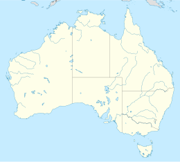
Burney Island
Jump to navigation
Jump to search
| Geography | |
|---|---|
| Location | Northern Territory |
| Coordinates | 13°35′42″S 136°14′21″E / 13.59501535°S 136.23911621°E |
| Adjacent to | Gulf of Carpentaria |
| Administration | |
| State | Northern Territory |
| Additional information | |
| Time zone | |
Burney Island is an island in the Northern Territory, Australia.[1]
References
[edit]- ^ "Burney Island". Place Names Register. Northern Territory Government. Retrieved 2022-07-02.
