Šlapaberžė
Jump to navigation
Jump to search
Šlapaberžė | |
|---|---|
Village | |
 | |
| Coordinates: 55°25′20″N 23°55′20″E / 55.42222°N 23.92222°E | |
| Country | |
| County | |
| Municipality | Kėdainiai district municipality |
| Eldership | Dotnuva Eldership |
| Population (2011) | |
| • Total | 616 |
| Time zone | UTC+2 (EET) |
| • Summer (DST) | UTC+3 (EEST) |
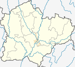
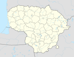
Šlapaberžė (formerly Polish: Szłapoburże, Szłapoberże, Szłapoberż, Szłapobierże, Ludwików, Russian: Шлапоберже) is a village in Kėdainiai district municipality, in Kaunas County, in central Lithuania. According to the 2011 census, the village has a population of 616 people.[1] The village is located by the Kruostas river, 7 km from Akademija. The village has the Catholic Church of Christ, a former manor with a park, and a wayside chapel.
History
[edit]Šlapaberžė was mentioned for the first time in 1371, when it came under the Teutonic Order ride. At the 18th century it was a royal village.
During the Soviet era, Šlapaberžė was a kolkhoz and selsovet center. There was an agriculture school.[2]

Demography
[edit]
|
|
| ||||||||||||||||||||||||||||||||||||||||||
| Source: 1902, 1923, 1959 & 1970, 1979, 1989, 2001, 2011 | ||||||||||||||||||||||||||||||||||||||||||||
References
[edit]- ^ "2011 census". Statistikos Departamentas (Lithuania). Retrieved August 21, 2017.
- ^ Tarybų Lietuvos enciklopedija (in Lithuanian). Vol. 4. Vilnius: Vyriausioji enciklopedijų redakcija. 1988. p. 211.

