Þjófafoss
Jump to navigation
Jump to search
| Þjófafoss | |
|---|---|
 Þjófafoss and Búrfell, as seen from the Merkurhraun lava fields | |
 | |
| Location | South of Iceland |
| Coordinates | 64°3′25″N 19°52′1″W / 64.05694°N 19.86694°W |
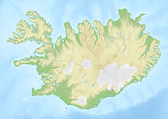
Þjófafoss (Icelandic pronunciation: [ˈθjouː(v)aˌfɔsː] , "thieves' waterfall"; also Thjofafoss) is located on the river Þjórsá on the east side of the Merkurhraun lava fields in the south of Iceland, at the southwest tip of the hill Búrfell.[1] A viewing point for the waterfall can be accessed by a gravel track that leads about 4 kilometres (2.5 mi) northwest from Route 26 or by a track that leads south from Route 32 past the hydroelectric power station Búrfellsstöð and Hjálparfoss.
Gallery
[edit]
See also
[edit]References
[edit]- ^ Jordan, Brennan T.; Carley, Tamara L.; Banik, Tenley J. (2019-07-04). Iceland: The Formation and Evolution of a Young, Dynamic, Volcanic Island—A Field Trip Guide. Geological Society of America. pp. 40–41. ISBN 978-0-8137-0054-0.
External links
[edit]- More travel information from enjoyiceland.is
- More images of Þjófafoss at the Flickr
