Çaykənd, Kalbajar
Jump to navigation
Jump to search
Çaykənd | |
|---|---|
 | |
| Coordinates: 40°08′55.8″N 46°05′12.1″E / 40.148833°N 46.086694°E | |
| Country | |
| District | Kalbajar |
| Elevation | 1,618 m (5,308 ft) |
| Population (2015)[1] | |
| • Total | 267 |
| Time zone | UTC+4 (AZT) |
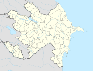
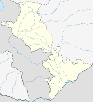
Çaykənd (Chaykend) is a village in the Kalbajar District of Azerbaijan.
History
[edit]The village was located in the Armenian-occupied territories surrounding Nagorno-Karabakh, coming under the control of ethnic Armenian forces during the First Nagorno-Karabakh War in the early 1990s. The village subsequently became part of the breakaway Republic of Artsakh as part of its Shahumyan Province, referred to as Nor Verinshen (Armenian: Նոր Վերինշեն). It was returned to Azerbaijan as part of the 2020 Nagorno-Karabakh ceasefire agreement.
Historical heritage sites
[edit]Historical heritage sites in and around the village include a 12th/13th-century khachkar.[1]
Demographics
[edit]The village had 200 inhabitants in 2005,[2] and 267 inhabitants in 2015.[1]
Gallery
[edit]References
[edit]- ^ a b c Hakob Ghahramanyan. "Directory of socio-economic characteristics of NKR administrative-territorial units (2015)".
- ^ "The Results of the 2005 Census of the Nagorno-Karabakh Republic" (PDF). National Statistic Service of the Republic of Artsakh.
External links
[edit]Wikimedia Commons has media related to Çaykənd (Kəlbəcər).


